Global warming may have worsened series of flood disasters, says Bureau of Meteorology
Jun 9, 2022 | Source: www.abc.net.au


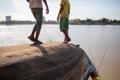
A perfect storm of factors created conditions for devastating flooding across Queensland and NSW this year and global warming may have made them worse, says the Bureau of Meteorology.
A bureau report into the disasters released on Wednesday confirms many century-old records fell when a series of La Niña-driven, deep low-pressure systems repeatedly dumped intense rain on a sodden landscape.
The bureau said that, while climate change did not cause the disasters, it linked the floods to a trend towards more high-intensity, short-duration rainfall events, especially across northern Australia.
Months of flooding rain events struck the east coast as Australia experienced its first back-to-back La Niña weather systems in a decade. Scientists say there's a chance of a rare "triple-dip" La Niña next summer.
Wednesday's report comes as the bureau issued unwelcome news for those parts of the country where dams remain full and the flood recovery continues, with indications of more heavy rain in coming months.
In its climate driver update, the bureau expects a negative Indian Ocean dipole (a measure of sea surface temperatures) to develop, which increases the chances of above-average rain in winter and spring for much of Australia.
At the same time, signs of La Niña easing have slowed and "the forecast sea surface temperature pattern in the tropical Pacific still favours average to above average winter rainfall for eastern Australia".
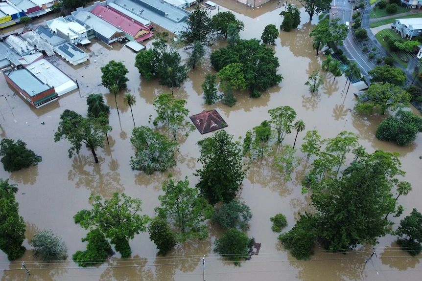
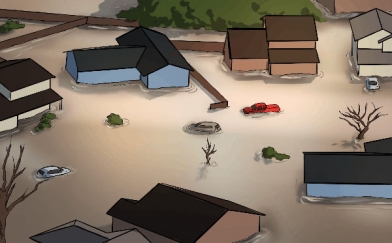
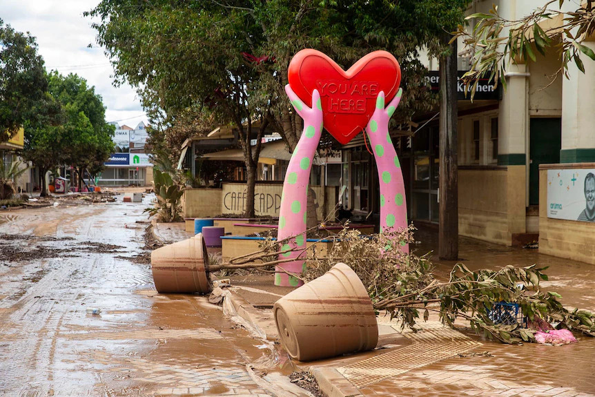
Wednesday's bureau report says more than 50 locations in south-eastern Queensland and north-east New South Wales recorded more than a metre of rain in the last week of February.
"These systems just parked over south-east Queensland. And when these systems do that, that's when you get really significant flooding," said Karl Braganza, the bureau's national manager of climate services
"The catchments were already saturated. And then (after the rain) you started getting incredible runoff."
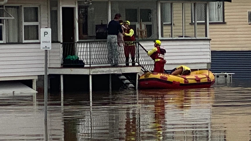
The Mary River at Gympie, in Queensland, which has flood records dating to 1870, exceeded all previous recorded flood peaks except the major flood in February 1893. The lower Logan River, south of Brisbane, experienced its worst flooding since 1974.
In parts of northern New South Wales, floodwaters easily broke previous record peaks, some dating back more than 100 years.
Devastating flooding occurred at Lismore, on the Wilsons River) and other nearby towns, including Coraki and Woodburn (Richmond River) and Murwillumbah and Tumbulgum (Tweed River).
The report said a warmer atmosphere was able to hold more moisture, leading to heavier rain.
"The climate models themselves have long projected an intensification of the hydrological cycle, which is essentially droughts becoming potentially longer and hotter and more frequent, but also, when the conditions are right and the meteorology is right, for the rainfall to be heavier than it was in the past.
The north of Australia is getting wetter and the south drier, says Dr Andrew King, from the University of Melbourne's ARC Centre of Excellence for Climate Extremes.
But he says in south-east Queensland and eastern New South Wales, rainfall is so variable it is hard to pick up any trend.
"We don't know how rainfall is going to change in this region in future. Climate projections are very uncertain, and that's a huge problem," he said.
"We need to understand how especially extreme rain events in this region are going to change given the huge impacts that they can have," he said.
Mr Braganza said there were so many factors contributing to storm events that predicting them was challenging.
"We will tend to see some surprising things that we weren't necessarily able to predict because of the complexity in the climate system," he said.